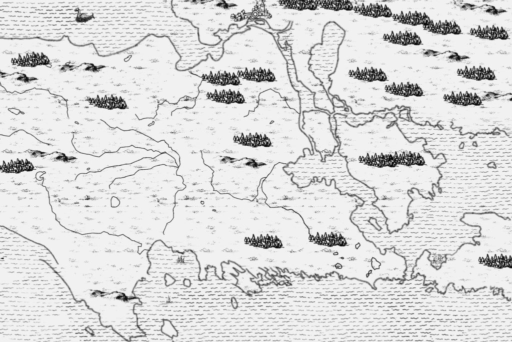
This image below is the style that I like, but is wholly inaccurate. AI (ChatGPT) created this map. If it were accurate at all, I would use it.
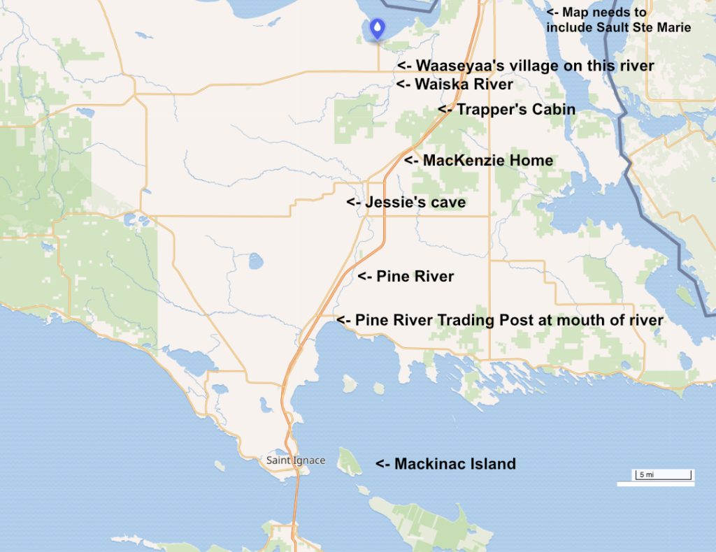
This map below is from Google Maps, so it has modern roads, but accurately shows rivers and locations. The final map CAN be vertical instead of landscape since much of the western portion of this map is unnecessary. And the White Pine Woods are between the Waiska River location and the Trapper’s Cabin.
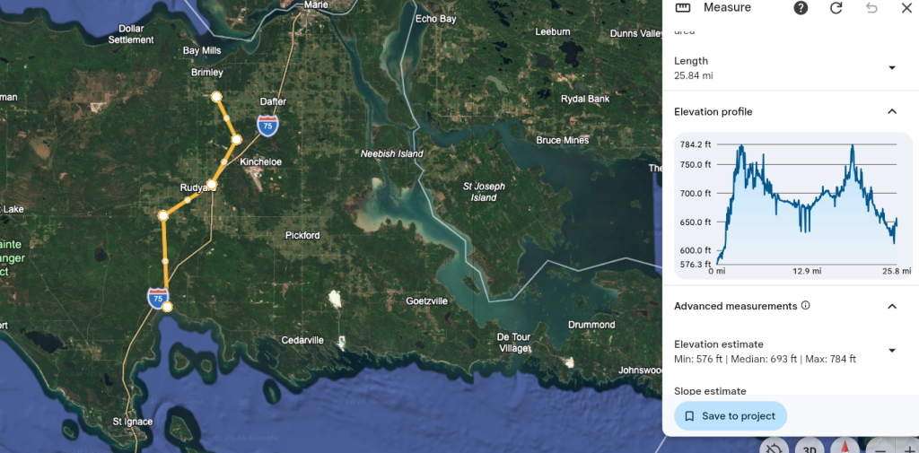
This map below shows a Google Earth image with rough locations, used for mileage accuracy in the writing of the book. Again, this is more map that needed for the book.
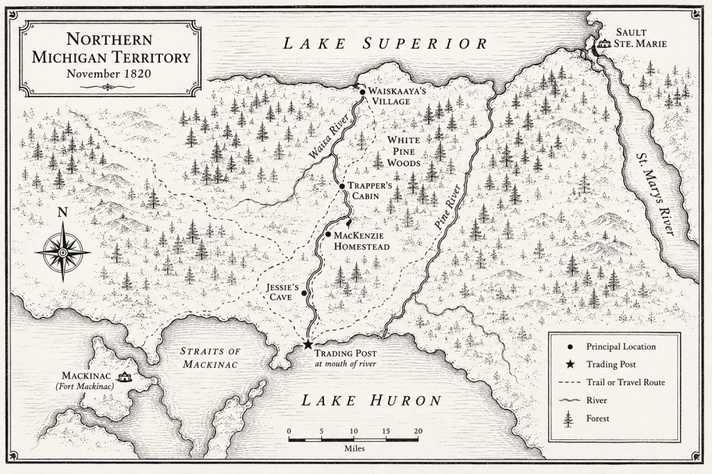
The image below is an accurate map base, but contains too much map. The vertical is good, but the width is more than what is needed. Also, this style is not as clean as the first map on this page.